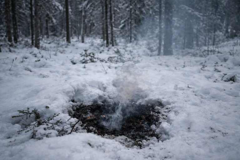
Manitoba has launched its updated FireView 2026 interactive map, marking the official start of a new wildfire reporting year and shifting the province’s public tracking system away from last year’s data. Previous notices for fires listed as “under control” from the 2025 season have been removed, with the map now focused entirely on current wildfire activity.
The FireView map and accompanying data table are updated hourly between 11:05 a.m. and 3:05 p.m. daily, while tabular data reflects conditions at the end of the previous business day. Extinguished fires are hidden by default but can be made visible by users. The map is available through Manitoba’s wildfire program website.
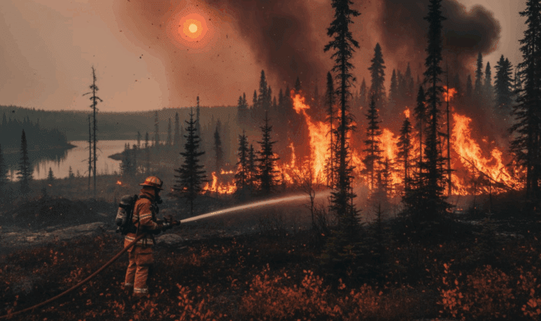
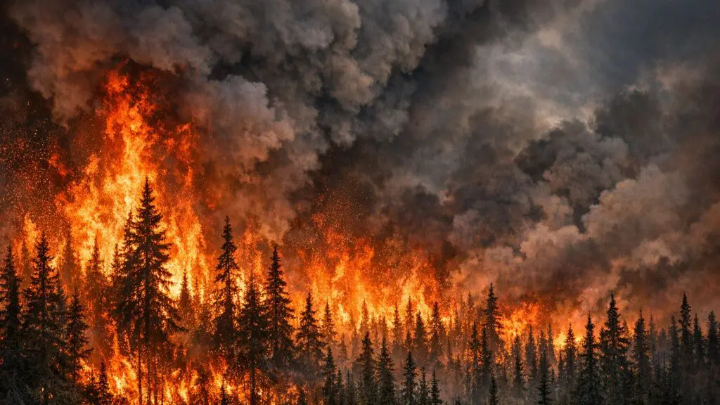
The update comes after a bruising 2025 fire season. Manitoba saw more land burned than in any year since at least 1994, with high temperatures accelerating the spread of fires across the province. A CBC investigation also revealed that dozens of firefighting positions within the Manitoba Wildfire Service were left unfilled when fires began rapidly spreading in May 2025 — a staffing gap that drew significant criticism.
In response, the federal government committed $19.2 million to boost wildfire fighting capacity in Manitoba, matched dollar-for-dollar by the province, for a combined investment of $38.4 million. Manitoba is also developing a new wildfire strategy focused on risk planning, community education, prevention, and mitigation. That strategy requires input from First Nations, rightsholders, industry, and community members.
Manitoba averages approximately 544 wildfires per year. The wildfire season typically runs from March through October. The Manitoba Wildfire Service monitors weather, lightning, soil moisture, and forest conditions to predict wildfire probability and location across the province.
A member of the Canadian Association of Journalists, Emma returned to core news journalism in early 2025 following a distinguished 15-year career as a content publisher and digital strategist. This background allows her to combine traditional journalistic integrity with a modern, data-driven approach to storytelling.
Emma holds a First-Class Honours degree in Business Studies from the University of Ulster and a postgraduate diploma in Accounting, providing her with a unique analytical lens when covering municipal politics, community development, and the social issues shaping Thompson, MB.
Contact her at emma@thethompsonnews.ca.